- Voir sur la carte
- Affine la recherche
 VTT électrique
Actif
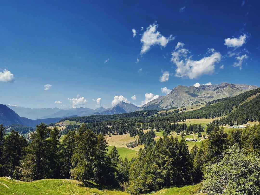
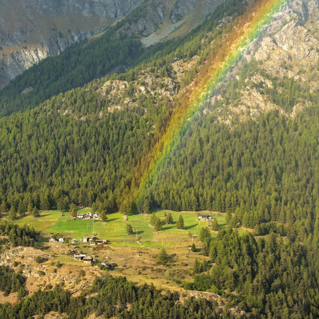
Ciclotour: Saint-Vincent – Col de Joux – Verrès – Saint-Vincent
Durée: 3 heures 4 minutes
Longueur: 51000 m
Difficulté: Moyenne
VTT électrique
Actif
Ciclotour: Tour de la Testa de Comagna
Challand-Saint-Victor, Brusson, Emarèse
Longueur: 28000 m
Difficulté: Moyenne
 Trekking
Actif
Brusson - Vollon
Parcours panoramique à la découverte de Vollon
Durée: 24 minutes
Longueur: 1263 m
Difficulté: Faible
VTT électrique
Actif
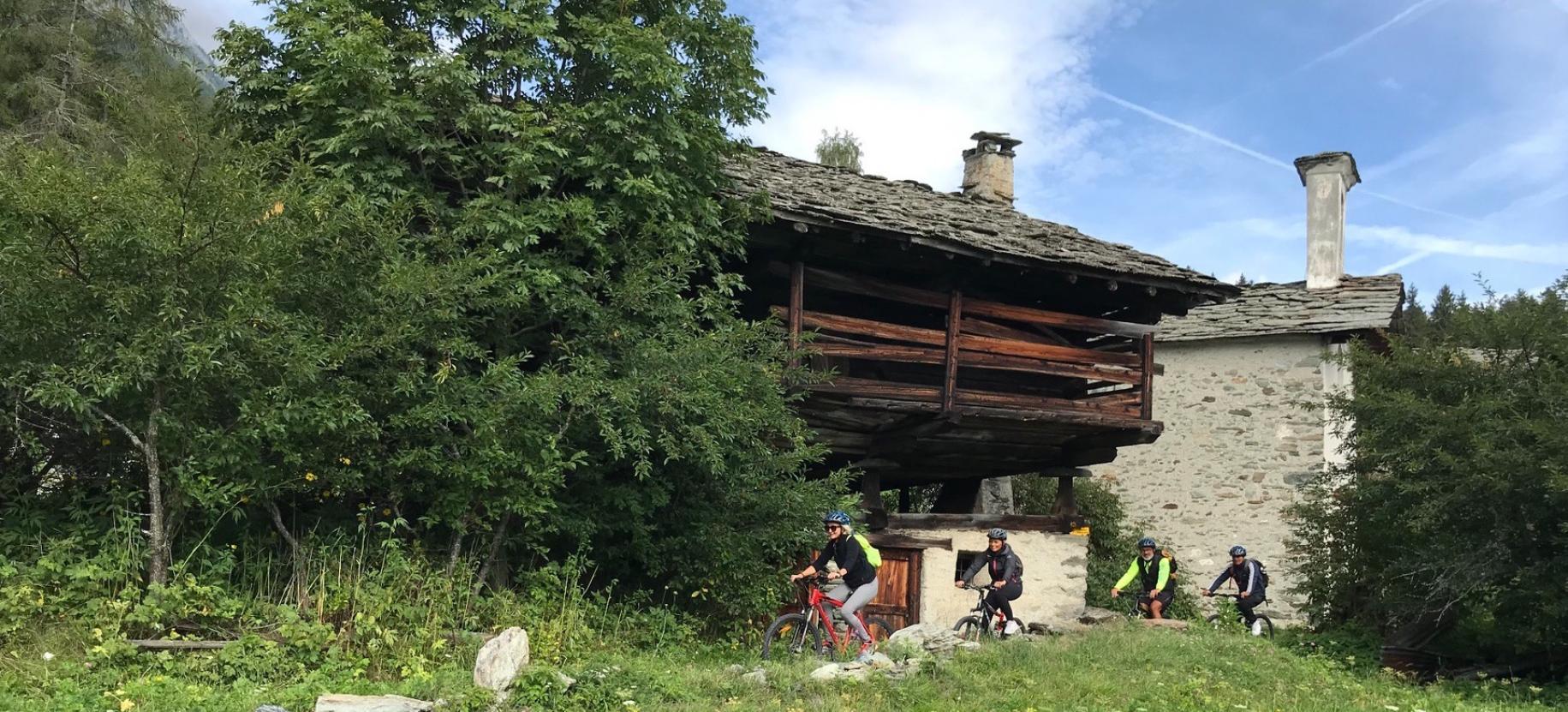
Constellation de villages uniques AYAS
Ayas est une municipalité qui englobe de nombreux villages anciens, reliés à l'origine par des chemins muletiers caractéristiques.
Durée: 3 heures
Longueur: 19000 m
Difficulté: Moyenne
VTT électrique
Actif
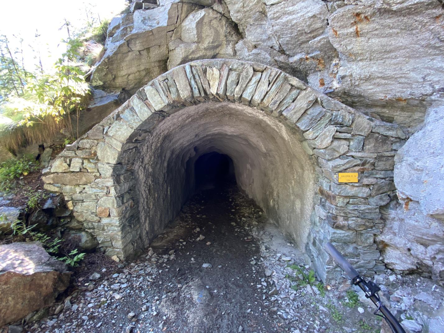
14 tunnels creusés dans la roche
Scéniques et panoramiques. L'ancien aqueduc, chef-d'œuvre de l'ingénierie médiévale
Durée: 3 heures
Longueur: 19000 m
Difficulté: Moyenne
Trekking
Actif
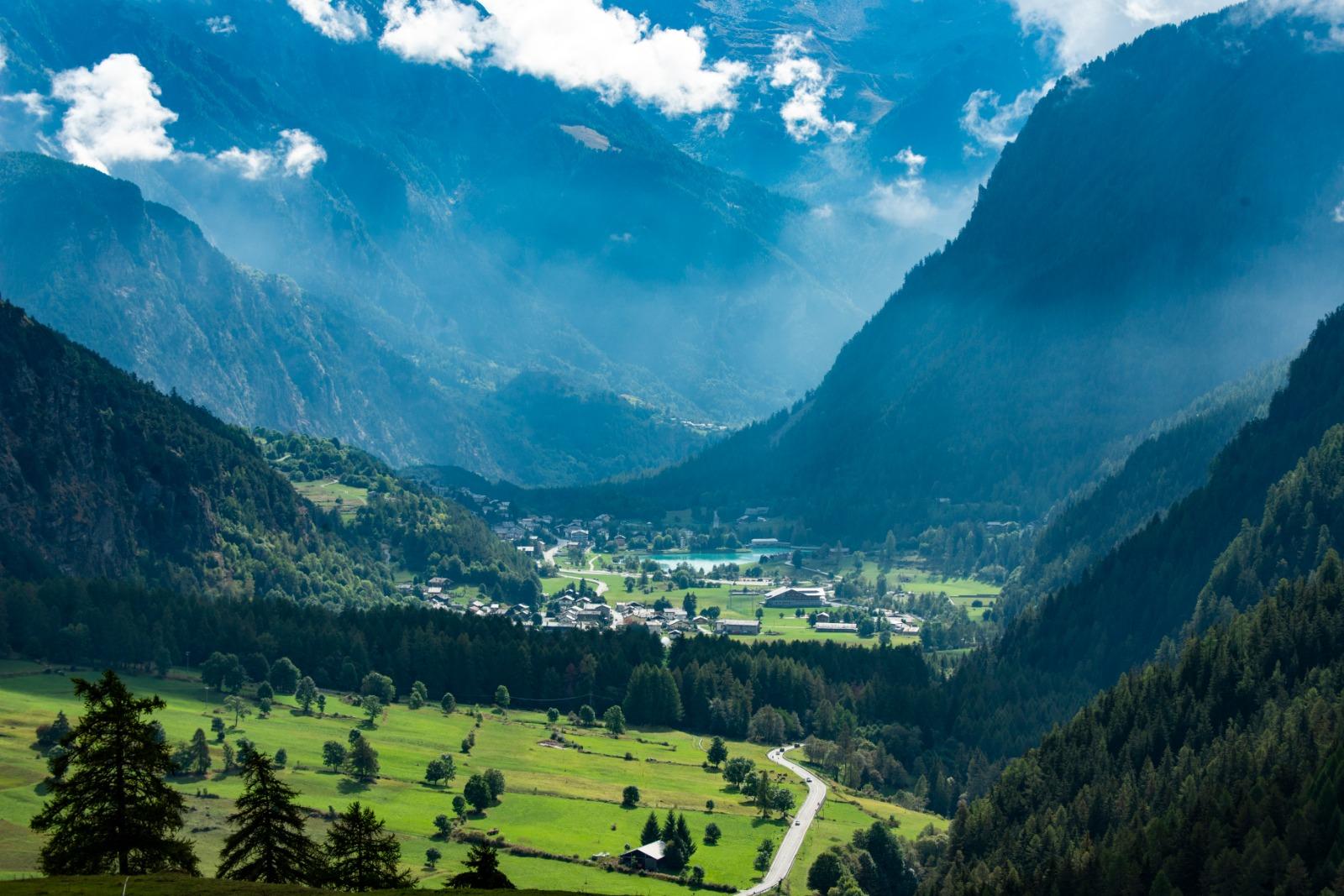
Col de Joux - Testa di Comagna
trekking avec vue panoramique sur la vallée d’Aoste
Durée: 1 heure 25 minutes
Longueur: 2021 m
Difficulté: Moyenne

Trekking
Actif
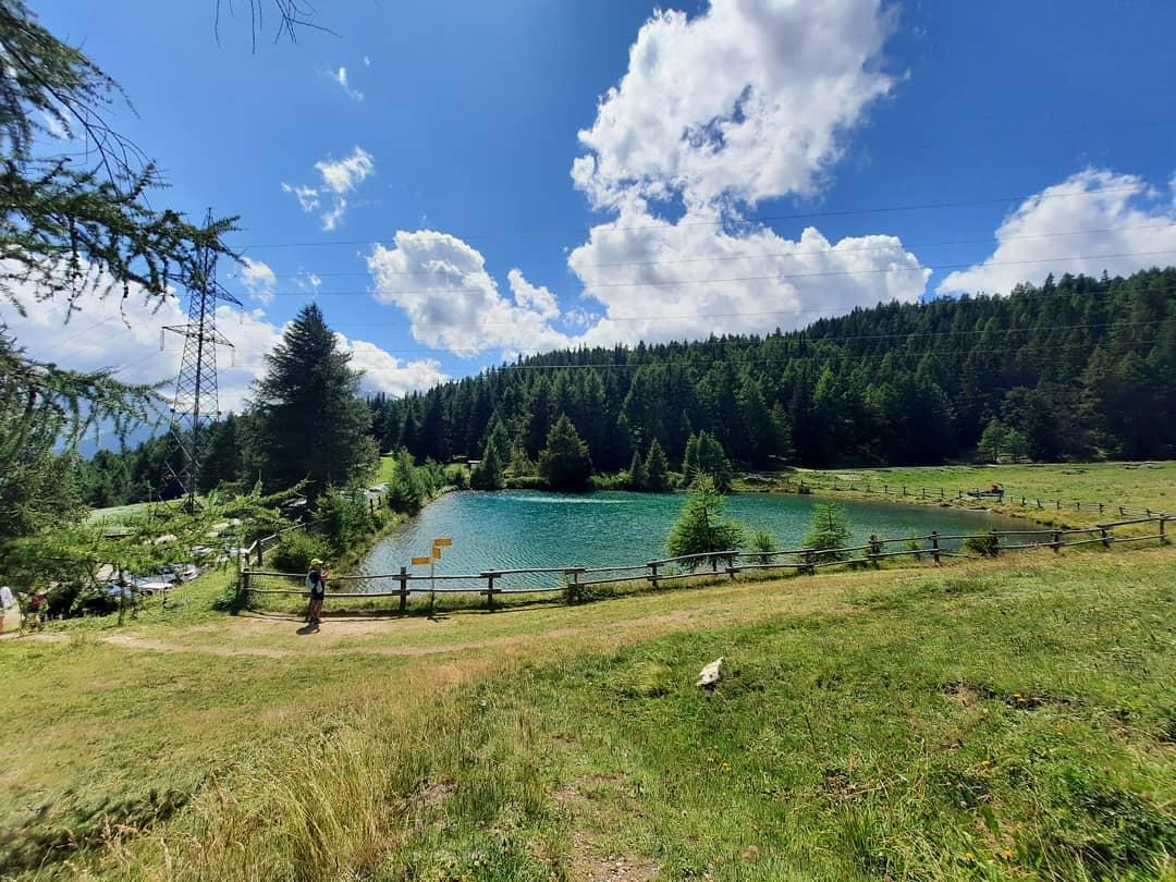
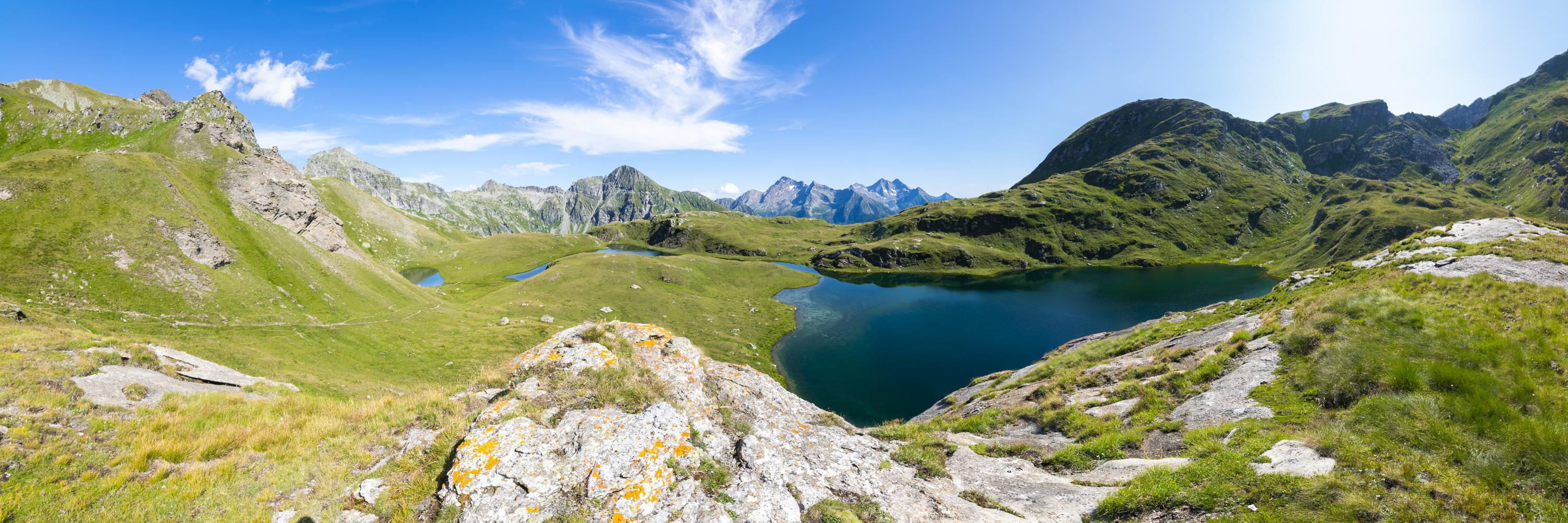
Tour Le Otto Montagne: randonnée aux alpages de Palasinaz
Trekking panoramique en boucle
Durée: 7 heures
Difficulté: Moyenne

Trekking
Actif
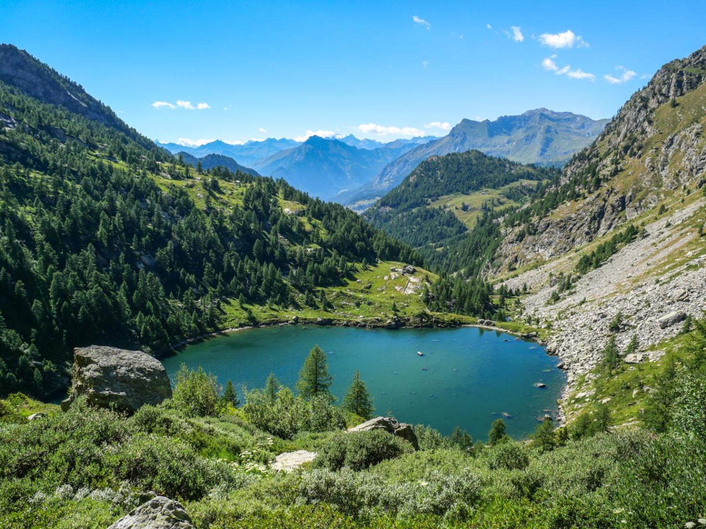
Tour Le Otto Montagne: randonnée dans la sauvage vallée de Graines et aux lacs de Frudière
Randonnée en boucle suggestive
Durée: 7 heures
Difficulté: Moyenne